
Nazira Town, Assam
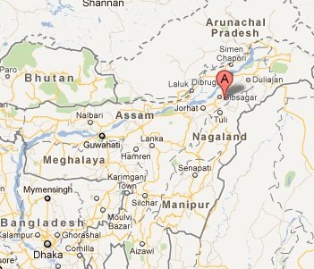
Nazira is an industrial town in Sibsagar district of Assam. The geographical location of Nazira is between 26°55′N latitude and 94°44′E longitude. Elevation is 132 metres (433 ft). Situated on the bank of river Dikhow, Nazira town is just 18 km away from Sibsagar city and 3 km from Simaluguri railway junction. Nearest airport is Jorhat. The Nazira town is well-know for it’s head quarters of ONGC, Assam Asset.
History:
Nazira is commonly believed to got its name from two Assamese words ‘Naw’ and ‘Jeera’, which means "resting place of boats". During the regime of Ahom kingdom, boats used to rest in that area after long journey via Dikhow river. The nearby Gargaon was a capital of Ahom kingdom. The "Kareng Ghar" palace built by Ahom King Rajeshwar Singha still stands telling the stories of those glorious years.
People:
The population of Nazira is 12,466 (2001 census) and literacy rate is 81%. Majority of the population belongs to Ahom community. Others include Assamese Muslims, Brahmins, Koch, Kalitas, Deories, Kaibarta and tea tribes. Assamese is the main spoken language in this town.
Economy:
Nazira area is rich in oil and natural gas. The head quarters of Natural Gas Corporation limited (ONGC), Assam Asset is located at Nazira. There are several large tea gardens around Nazira. MNCs like Halliburton and Schlumberger also operate in this area.