
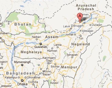
Dhemaji District, Assam
Dhemaji District is one of the districts in Assam state of India. It is situated on the north bank of river Brahmaputra, in the remote corner of North East India. The Dhemaji district came into existence on 1989. It comprises of erstwhile Dhemaji and Jonai sub-division and parts of Machkhowa mouza and Bordoloni. The district occupies an area of 3237 sq Km. Geographically it is situated between the 940 12′ 18” E and 950 41′ 32” E longitudes and 270 05′ 27” N and 270 57′ 16” N latitudes. The Dhemaji district has Lakhimpur district in the West, river Brahmaputra in the South and hilly areas of Arunachal Pradesh in the North and East.
As per 2011 census, Dhemaji district has a population of 688,077 with a population density of 213 inhabitants per square km. Dhemaji has a sex ratio of 949 females per 1000 males, and a literacy rate of 69.07 %. The population of Dhemaji comprises of Ahoms, Sonowal Kacharis, Koches, Chutia, Kalitas, Kaibartas, Mishings and Deoris. Principal religion of the district is Hindusim.
Origin of Name Dhemaji:
There are a number of believes regarding the origin of the name "Dhemaji". One of the most popular believe is that Dhemaji name originated from two Assamese words: "Dhal" and "Dhemali". Dhal meaning flood and Dhemali meaning playing.
History:
The entire Dhemaji district area was home to various indigenous tribes like Mising, Sonowal Kachari, Bodo Kachari, Deori and Laloong. In different course of time, Ahom, Rabha, Tai – Khamti, Konch, Keot, Koiborta, Brahman, Kayastha, Kalita etc. migrated to Dhemaji. In around 1240 A.D., Chaolung Sukaphaa, the first King of Ahom reign Chow Chukafa established his capital at Haboong in present Dhemaji district. But perennial flood in the area forced the King shift his capital. Later, Haboong came under the rule of Chutias. During 1523 A.D., Ahom King Chuhung – Moong attacked and kill the Chutia king Natipal and regained power over the area.
Places of Interest:
Gerukamukh: At Gerukamukh Sobansiri, the largest tributary of Brahmaputra touches the plains from the hills. It us located at a distance of 44 Km from the district Head Quarter. Ignoring strong protests from Assamese people, the National Hydro Electric Power Corporation (NHPC) is currently building a mega hydro-electric power project at Gerukamukh.
Malini Than: An ancient place of worship for the Goddess Malini. It is located 42 kms away in the north eastern direction of Dhemaji.
Ghuguha Dol: It is historically believed that at this place Bamuni Konwar The son of then Ahom King Tyao Khamti was born. The Dol (Temple) Was built in the memory of Bamuni Konwar’s mother Ghuguhi. The spot is located at a distance of 17 km in south west of Dhemaji.
Maa Manipuri Than: A place of worship situated at distance of 25 km in the south west direction of Dhemaji. It was established by the then Ahom King Gourinath Singha as a monument of help by the Manipuries in controlling Mua-Mariah renaissance during the later period of Ahom reign.
Rajgarh & Rajgarh Ali: A road constructed by Prince Gohain Kamal during Konch reigm and is at a distance of 22 km from Dhemaji.
Garakhia Than: A religious spot located at 12 km from Dhemaji under Gohain Mouza.